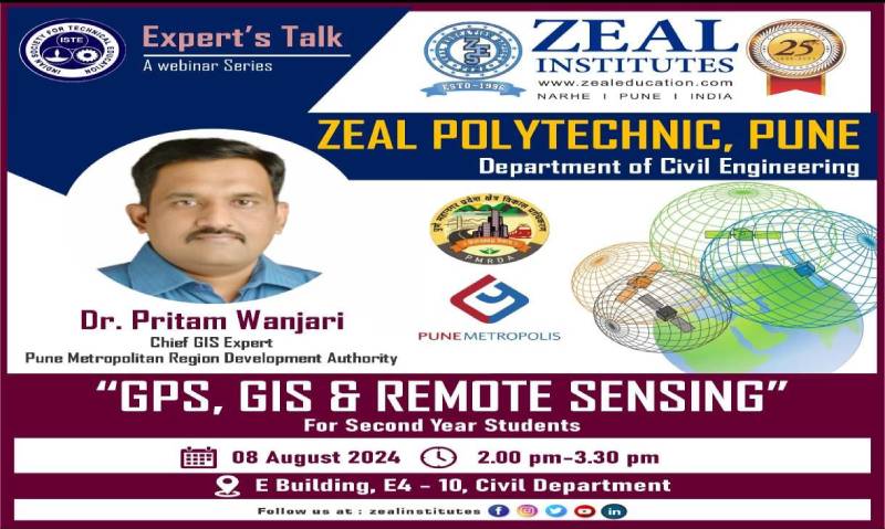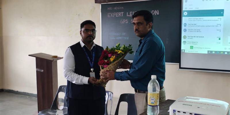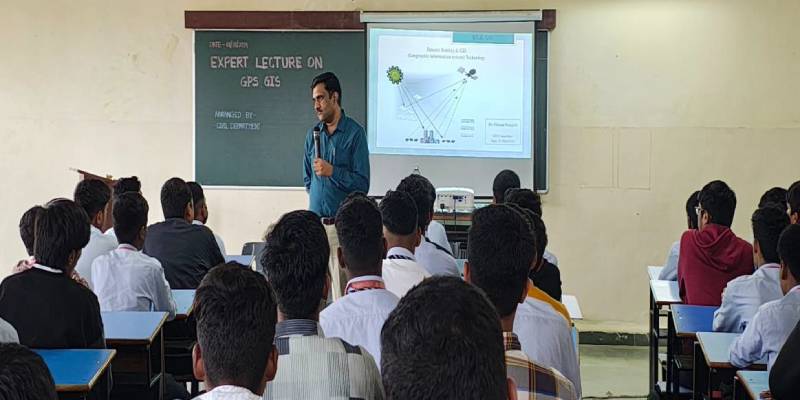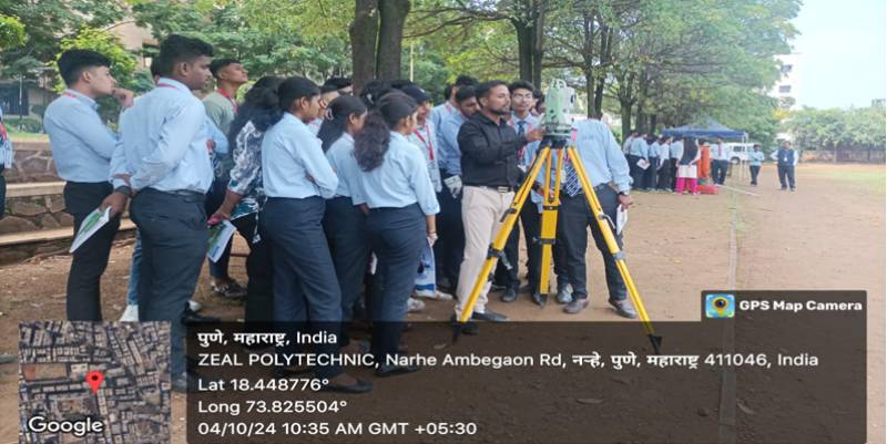

Resource Person: Mr.Pritam Wanjari sir (Chief GIS Expert Pune Metropolitan Region Development Authority)
Summary:
Comprehend the foundational concepts and operational mechanisms of GPS and its integration in civil engineering practices. Explore the capabilities of GIS in spatial data handling, analysis, and its role in informed decision-making for infrastructure projects. Understand the applications and benefits of Remote Sensing technologies in capturing geospatial data and supporting environmental assessments in civil engineering.
Objective/Purpose:
Objective: To equip civil engineering students with a comprehensive understanding of GIS, GPS, and remote sensing technologies, and to demonstrate their practical applications in the field of civil engineering, thereby enhancing their technical skills and preparing them for modern industry challenges.
Purpose: The purpose of this expert lecture is to introduce students to the fundamental concepts and tools of GIS, GPS, and remote sensing, and to illustrate how these technologies can be utilized in various civil engineering tasks such as surveying, mapping, infrastructure planning, and environmental monitoring. By understanding the capabilities and applications of these technologies, students will be better prepared to incorporate them into their professional practice, leading to more efficient and accurate project outcomes. The lecture also aims to inspire students to explore innovative uses of these technologies in their future careers.
Outcomes:
- Enhanced Understanding of Spatial Data: Students will gain a deeper understanding of how GIS and remote sensing technologies can be used to collect, analyze, and interpret spatial data relevant to civil engineering projects.
- Practical Application of GPS: Students will learn the practical applications of GPS technology in surveying, mapping, and project planning, enabling them to apply these tools in real-world civil engineering tasks.
- Integration of Remote Sensing in Engineering: The lecture will introduce students to remote sensing techniques and their applications in monitoring environmental conditions, assessing land use, and planning infrastructure projects.
- Skills in Data Management and Analysis: Students will develop skills in managing and analyzing large datasets using GIS software, preparing them for tasks such as site selection, urban planning, and resource management.
- Awareness of Technological Advances: Students will become aware of the latest advancements in GIS, GPS, and remote sensing technologies and how they can be leveraged to improve efficiency and accuracy in civil engineering projects.
- Improved Decision-Making Abilities: With knowledge of these technologies, students will be better equipped to make informed decisions during the planning, design, and implementation stages of civil engineering projects.
- Preparation for Industry Requirements: Exposure to these tools and techniques will prepare students to meet the demands of the modern civil engineering industry, where technology plays a critical role in project success.
- Research and Innovation: The lecture may inspire students to explore further research or innovative applications of GIS, GPS, and remote sensing in civil engineering.